The Five Lake Hike is one of the most popular hikes in Switzerland. Situated in the Glarus Alps in the north-eastern region of Switzerland, this route links five mountain lakes scattered on the slopes of the Pizol mountain range. Starting at 2,222m elevation from Pizolhütte, the hike offers unparalleled panoramic views of the surrounding mountainous landscape at every turn. Though a substantial walk, the path itself is well-maintained and easy to follow at all times. In the summertime, this trail is a popular hike among tourists and locals alike, and in winter, the area is also used as ski slopes.
This was the first hike I undertook during my solo road trip through Switzerland in 2021, and it was a worthy one to start with. Having spent the days prior either driving or wandering through tourist-filled cities in Germany, I was in dire need of some nature, and Pizol seemed like the perfect escape.
I decided to go in late September, having driven down from Germany the previous day to Walenstadt, a town about a 15-minute drive from Wangs, the starting point of the Pizol hike. Wangs, located about one hour from Zurich, is easily accessible by car and public transport.
Keeping my itinerary quite flexible, I had been following the weather report for a couple of days. Throughout my trip, I endeavoured to keep an eye on the weather conditions and planned my hikes accordingly. In this instance, I was exceptionally lucky with the weather that day. Upon arrival, it was clear that I was not the only one with the idea of hiking on a day when the skies were clear.
To reach the starting point of the hike, there are three rides to take up to Pizolhütte: first, a gondola ride from Wangs to Furt (1522m), then a chairlift up to Gaffia (1861m), and finally a second chairlift from Gaffia to Pizolhütte (2222m). The route can be traversed in both directions, though Pizolhütte to Gaffia is the most popular as it begins from a slightly higher elevation.
Tip: Check the weather forecast for this hike. When I attempted this route, the weather could not have been more perfect, and there were very few slippery mud patches. However, this will not always be the case. Therefore, if you prefer ascending on slippery slopes rather than descending, taking the route counter-clockwise might be an option (if you’re up for the challenge, as it will be more of a climb). Even though Gaffia to Pizolhütte might be a more difficult hike, you would end at Wildseeluggen, which, in my opinion, was the most beautiful of the lakes.
It is advisable to start this walk early and not leave later than 11am. Although the route itself may take about 4 hours and 30 minutes, the last ride from Gaffia is at 4.30pm, and from Pizolhütte, it’s at 4pm. Also, you will want to take the time to enjoy sitting by the lakes without worrying about getting to the railway station on time.
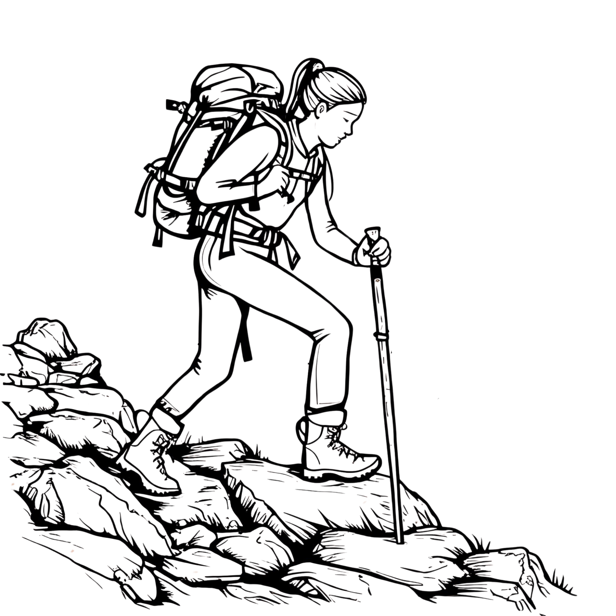
Sunscreen, sturdy hiking boots, snacks or lunch, and water are absolute essentials for this hike. The sun can be relentless at those altitudes. Like someone far too accustomed to a rainy landscape, I forgot to bring sunscreen but fortunately managed to buy some at Pizolhütte, where there is a shop and restaurant. For those who fancy it, you can also grab some snacks and sandwiches for the road there.
Wangersee (2206m)
This first lake is often overlooked. Many will head straight to the second lake (Wildsee) and bypass Wangersee entirely, as it lies in the opposite direction of the rest of the trail when starting from Pizolhütte. I imagine this creates quite a confusion at the end of the hike for those who went directly to Wildsee, thinking they might have miscounted the lakes.
Wangersee is one of the smaller lakes and seems insignificant compared to those that follow. However, the short walk up the hill it hugs is worth it for the panoramic view of the surrounding landscape. Being high above the tree-line, there is an unobstructed view in every direction, and in my case, visibility was excellent.
Wildsee (2493m)
Passing the Pizolhütte station on the way back from Wangersee and towards the second lake, the path soon ascends steeply through a series of seemingly endless switchbacks, which quickly warmed me up despite the cold temperature.
As I progressed, remnants of snow from a week prior began to dot my path. Occasionally, I paused to catch my breath, using the perfectly valid excuse of wanting to take in the scenery that became increasingly breathtaking as I climbed higher.
The payoff for this ascent was well worth it. Wildsee was by far the most glorious of all the hikes on this route. Upon reaching the top, you’re rewarded with a breathtaking turquoise lake framed by the snow-covered peaks of the Graue Hörner and Pizol summit. It truly is an otherworldly landscape, especially with the sun beaming down on the glittering lake, creating a scene that felt quite surreal.
Schottensee (2335m)
After catching my breath, gazing my fill of Wildsee, and walking a short distance along the rocky edge of Wildseeluggen, I continued down a brief rocky descent, where Schottensee soon came into view. This relatively steep path between the two lakes was slightly slick at times, and in worse weather conditions, some caution might be required to avoid slipping.
Unlike Wildsee, where the path remains a steep slope away from the water, the route along Schottensee runs close to the water’s edge, making it a lovely place to rest and enjoy the scenery. I did just that and took a break here, relishing the odd juxtaposition of the sun warming my back with the cold mountain air.
The path continues north from here and soon ascends the steep flank of a Schwarzplangg. From this vantage point, the UNESCO World Heritage Tectonic Arena Sardona is visible in the distance. Taking a moment near the top to glance back, Schottensee was visible far below, framed by the snow-covered peaks of the Graue Hörner behind it.
Schwarzsee (2368m)
A descent through a series of switchbacks leads you to Schwarzsee, nestled on the eastern side of Rossstall. The lake derives its name from the dark hue of the water, which starkly contrasts with the previous two lakes.
After passing Schwarzsee, and ascending once more, the path meanders past stacks of piled stones (Steinmannlis) at the summit, followed by a long descent along the eastern flank of Gamidaur, which eventually leads to the fifth and final lake. Throughout the journey, there is ample opportunity to marvel at the sight of the UNESCO World Heritage Tectonic Arena Sardona and the town of Wangs nestled in the valley below.
Baschalvasee(2174)
Baschalvasee was the final lake on the route. This smaller, crystal-clear green lake is a lovely spot to sit, rest, and enjoy the scenery before embarking on the final long descent back to Gaffia station.
A final rocky series of switchbacks and a path through lush greenery lead you back down to Gaffia station (which we passed on our way up to Pizolhütte). Here, you’ll find a mountain restaurant to reward weary hikers with a cold beverage. From this point, there are two additional rides back down to Wangs station and the parking lot.
Overall, this hike was a perfect blend of the intimate beauty of the lakes and the majestic distant scenery of the surrounding mountains, setting a high standard for any future trail. Throughout the walk, I ensured I took breaks to sit, relax, eat some grapes, and soak in the otherworldliness of my surroundings. The trail offered a pleasant mix of ascents and descents, culminating in a final long descent back to the station.
I encountered some lovely people along the way: a woman from Wangs provided me with valuable advice on the hike and prevented me from alighting the cable car at the wrong spot, while another gentleman from Liechtenstein joined me for the initial section of the hike.
After the brief drive back to Walenstadt, I concluded my day on the balcony of my hotel, enjoying a cold beer that felt well-deserved, with the sound of cowbells echoing through the valley in the background while I contemplated my next exploration in Switzerland.
